
Featured work

Proof, in the ground and on the record.

A few of the projects that built our reputation — and the numbers behind them.

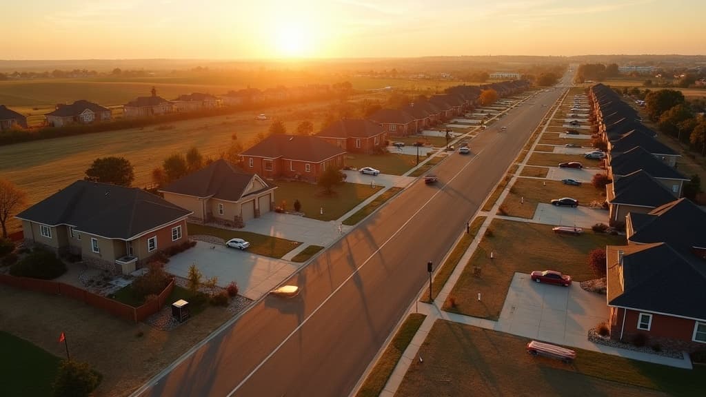
Drone flying over a rural property at golden hour
12,000+ surveys and counting
Lakewood Estates — 42-Lot Subdivision
Lot Splits & Subdivisions

Lakewood Estates — 42-Lot Subdivision

Chatham, IL

Scope. Preliminary and final plats, 42 lot stakeouts, and drainage and utility alignment for a 38-acre residential development.

Result. Plat recorded in 11 weeks; all 42 lots staked to within 0.02 ft; zero re-stakes required during grading.

42
Lots
38
Acres
0
Re-stakes

Riverfront Commerce Park — ALTA/NSPS
ALTA/NSPS Title Survey

Riverfront Commerce Park — ALTA/NSPS

Springfield, IL

Scope. Full ALTA/NSPS survey with Table A items 1–18 for a 14-building commercial campus refinance.

Result. Delivered in 9 days; lender accepted without revisions; two encroachments identified and resolved before closing.

14
Buildings
9
Days
2
Encroachments found
Prairie Ridge Ranch — 340-Acre Boundary
Boundary Survey

Prairie Ridge Ranch — 340-Acre Boundary

Sangamon County, IL

Scope. Boundary retracement of a 340-acre farm using 1873 GLO records, drone aerial mapping, and GNSS control.

Result. Recovered 26 original corners and added 31.7 acres to the client's record title via a corrected plat.

340
Acres
26
Corners recovered
31.7
Acres recovered

Next up

Your project could be the next case study

Tell us what you're planning — we'll tell you exactly what survey it needs and what it will cost.

Ready to stake your claim?

Get a free, no-obligation quote within one business day. Licensed surveyors, clear pricing, and certified results — every time.