Our services
Seven core services.
One standard: precision.
Every project — from a single fence-line pin to a 340-acre retracement — is measured, computed, and certified by licensed professionals.
Not sure what you need?
Tell us your goal — a fence, a sale, a build — and we will recommend the exact survey, no more, no less.
Ask Us FirstHow it works
Four steps to certified results
A simple, transparent process from first call to recorded plat.
Request & review
Share your property address and goals. We pull deeds, plats, and title records, then confirm scope and price.
Field work
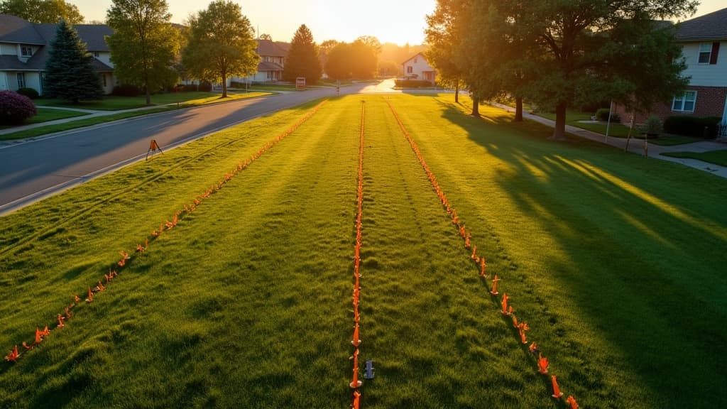
Our licensed crew collects measurements with survey-grade GNSS and robotic total stations — on schedule.
Draft & QC
Field data is computed, adjusted, and drafted by licensed professionals, then checked against the record.
Deliver & certify
You receive a certified plat, digital files, and set monuments — plus a plain-English walkthrough.
Every survey includes
- Licensed surveyor on site
- Survey-grade GNSS & total stations
- Written report of findings
- Digital + paper copies
- 12-month re-question guarantee
- Plain-English walkthrough

Ready to stake your claim?
Get a free, no-obligation quote within one business day. Licensed surveyors, clear pricing, and certified results — every time.