Our services
Boundary Surveys
Certified location of your property lines, with permanent monuments and a recordable plat.
What's included
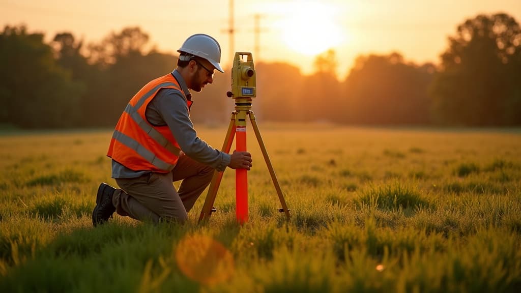
Our boundary surveys establish or re-establish your property lines using recorded deeds, subdivision plats, and precise field measurements. Whether you are building a fence, buying or selling, or settling a dispute, you receive a certified plat that holds up in title, lending, and the courts.
- Deed, plat & easement record search
- Survey-grade GNSS + total station fieldwork
- Permanent monumentation at every corner
- Encroachment & setback analysis
- Recordable certified survey plat
Deliverables
- Certified survey plat (recordable)
- Property corner monuments set
- Written report of findings
- Digital CAD & PDF copies
Free quote · Reply within one business day
How it works
Four steps to certified results
Request & review
Share your property address and goals. We pull deeds, plats, and title records, then confirm scope and price.
Field work
Our licensed crew collects measurements with survey-grade GNSS and robotic total stations — on schedule.
Draft & QC
Field data is computed, adjusted, and drafted by licensed professionals, then checked against the record.
Deliver & certify
You receive a certified plat, digital files, and set monuments — plus a plain-English walkthrough.
Related
Other services you may need

Ready to stake your claim?
Get a free, no-obligation quote within one business day. Licensed surveyors, clear pricing, and certified results — every time.